-
Hawaii’s Allisen Corpuz finished inside the Top-10 at U.S. Women’s Open
-
Pahoa man charged in fatal Hawaii Island motorcycle crash
-
Philippines earthquake: Could Hawaii be affected? Latest update on Guam and the US mainland
-
Philippines earthquake: Could Hawaii be affected? Latest update on Guam and the US mainland
-
M7.8 earthquake strikes Philippines, no tsunami threat to Hawaii
-
NO Tsunami threat for Hawaii after 8.2 magnitude quake hits Philippines
- Hawaii’s Allisen Corpuz finished inside the Top-10 at U.S. Women’s Open
- Pahoa man charged in fatal Hawaii Island motorcycle crash
- Philippines earthquake: Could Hawaii be affected? Latest update on Guam and the US mainland
- Philippines earthquake: Could Hawaii be affected? Latest update on Guam and the US mainland
- M7.8 earthquake strikes Philippines, no tsunami threat to Hawaii
- NO Tsunami threat for Hawaii after 8.2 magnitude quake hits Philippines
-
Don’t blink: The best summer family travel deals are already here
-
Kauai parade kicks of Pride Month celebrations
-
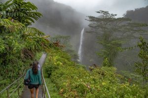
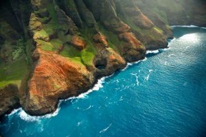
The Best Kid-Friendly Adventures On Hawai’i Island And Kaua’i
-
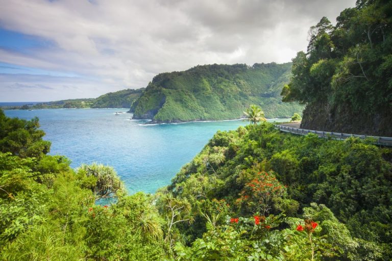
Kauai’s sacred river flowing through a lush Hawaiian valley
-
Kauai’s sacred river flowing through a lush Hawaiian valley
-
Kauai’s sacred river flowing through a lush Hawaiian valley
- Don’t blink: The best summer family travel deals are already here
- Kauai parade kicks of Pride Month celebrations
- The Best Kid-Friendly Adventures On Hawai’i Island And Kaua’i
- Kauai’s sacred river flowing through a lush Hawaiian valley
- Kauai’s sacred river flowing through a lush Hawaiian valley
- Kauai’s sacred river flowing through a lush Hawaiian valley